MULTIMEDIA CORNER
MULTIMEDIA
CORNER
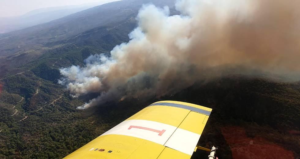
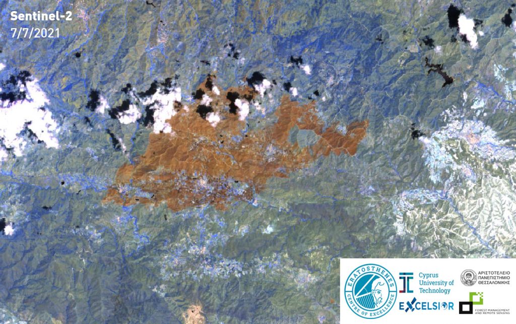
Following the First Fire Rapid Assessment carried out on 4/7/2021 via low-definition means, there has been a second assessment of the areas that have been burned in the recent catastrophic fire in Cyprus.
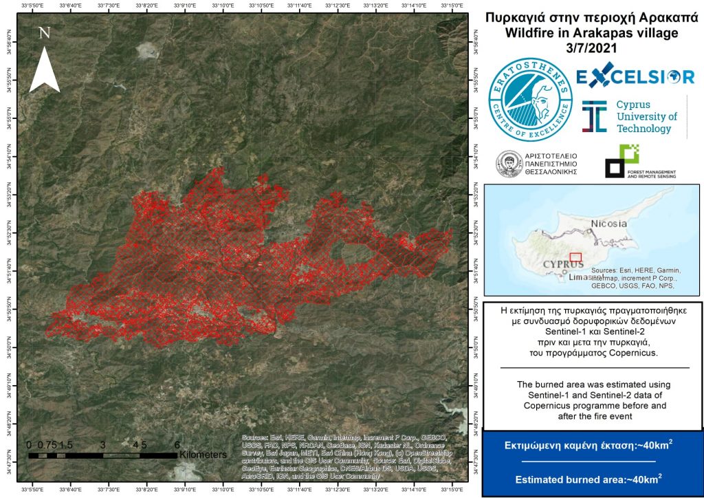
The Eratosthenes Center of Excellence of the Cyprus University of Technology, the project EXCELSIOR H2020 TEAMING, the Remote Sensing and Geoenvironment laboratory of the Department of Civil Engineering and Geoinformatics of CUT and the laboratory of Forest Management and Remote Sighting of the Aristotle University of Thessaloniki provide the second assessment of Cyprus burned soil using the medium- to high-definition means SENTINEL-1 and SENTINEL -2 of the COPERNICUS program. The area in question is about 40 square kilometers.
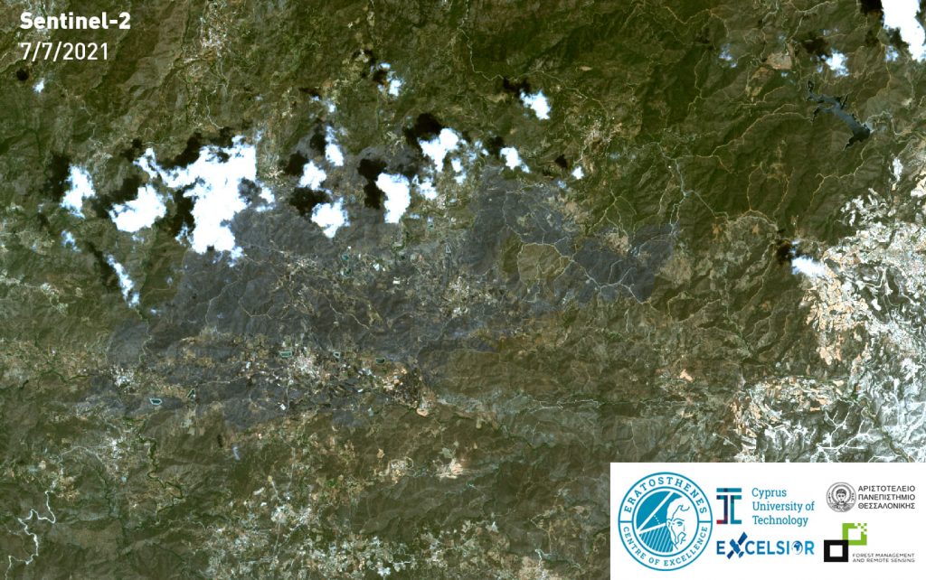
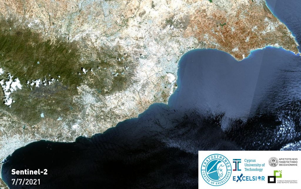
A new assessment carried out with higher definition satellite means is expected depending on the availability of new satellite shots. It is noted that in this assessment a new satellite image dated 7/7/2021 (with limited cloud cover) along with image processing algorithms were used.
This project was executed by Maria Prodromou, researcher at the ‘Eratosthenes Center of Excellence’ of the Cyprus University of Technology / EXCELSIOR H2020 TEAMING project / the Remote Sensing and Geoenvironment laboratory of the Department of Civil Engineering and Geoinformatics of the University and Stephanos Papaiordanidis from Aristotle University of Thessaloniki. The project was coordinated by Prof. Diofantos G. Hatzimitsis of CUT (coordinator of the project EXCELSIOR H2020 TEAMING) & Prof. Ioannis Gita of the Aristotle University. Aristotle University participates in the EXCELSIOR H2020 Teaming project as one of the main strategic partners.
Also read: Security and Protection, Cyprus’ subordinated sector
Hellenic Police | Donation of Seven New Vehicles
A few days ago, a handover ceremony took place at the Ministry of Citizen Protection, marking the official donation of seven state-of-the-art vehicles from Helleniq Energy…
AI Task Force | First Session of the National Committee for Artificial Intelligence of Cyprus
The first session of the National Commission for Artificial Intelligence (AI Task Force) was held, marking the official start of the work…
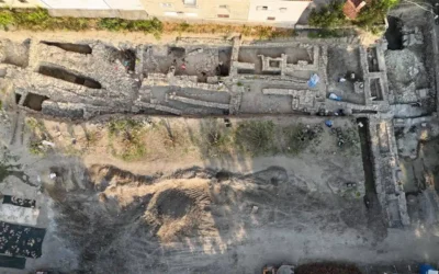
Massive Ancient Greek Defensive Wall Unearthed in Croatia
An ancient Greek defensive wall, dating back at least 2,000 years, has been uncovered near the Adriatic coast of Croatia, the…
Cyprus | Major General Bewick Sworn in as New British Base Commander
Major General Tom Bewick was officially sworn in as the new Area Manager of the British Bases in Cyprus during a ceremony…
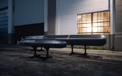
Anduril | Introduction of the Torpedo-Inspired Underwater Kamikaze Drone Copperhead
Anduril has unveiled a torpedo-inspired underwater attack drone in response to emerging maritime threats.
Hellenic Police | Donation of Seven New Vehicles
A few days ago, a handover ceremony took place at the Ministry of Citizen Protection, marking the official donation of seven state-of-the-art vehicles from Helleniq Energy…
Gizelis S.A. Enters the Defence Sector | Strategic Partnership with Israeli Company Aharon Yosef – אהרון יוסף
Gizelis S.A. has officially announced its entry into the defence industry through a strategic partnership with the Israeli company Aharon Yosef.
Albania | Reception of Warship from Italy to Bolster Military and NATO Missions
Italy donated a military vessel to Albania on Tuesday to support the country in strengthening its armed forces, enhancing coastal patrols, and increasing its contribution to NATO missions.
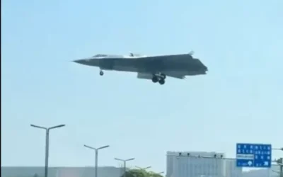
China | New Video of the J-36 Triple-Engine Fighter Jet
Images of the J-36 have emerged for the first time on Chinese social media, reportedly derived from video footage.





0 Comments