
MULTIMEDIA CORNER
MULTIMEDIA
CORNER

Following the First Fire Rapid Assessment carried out on 4/7/2021 via low-definition means, there has been a second assessment of the areas that have been burned in the recent catastrophic fire in Cyprus.
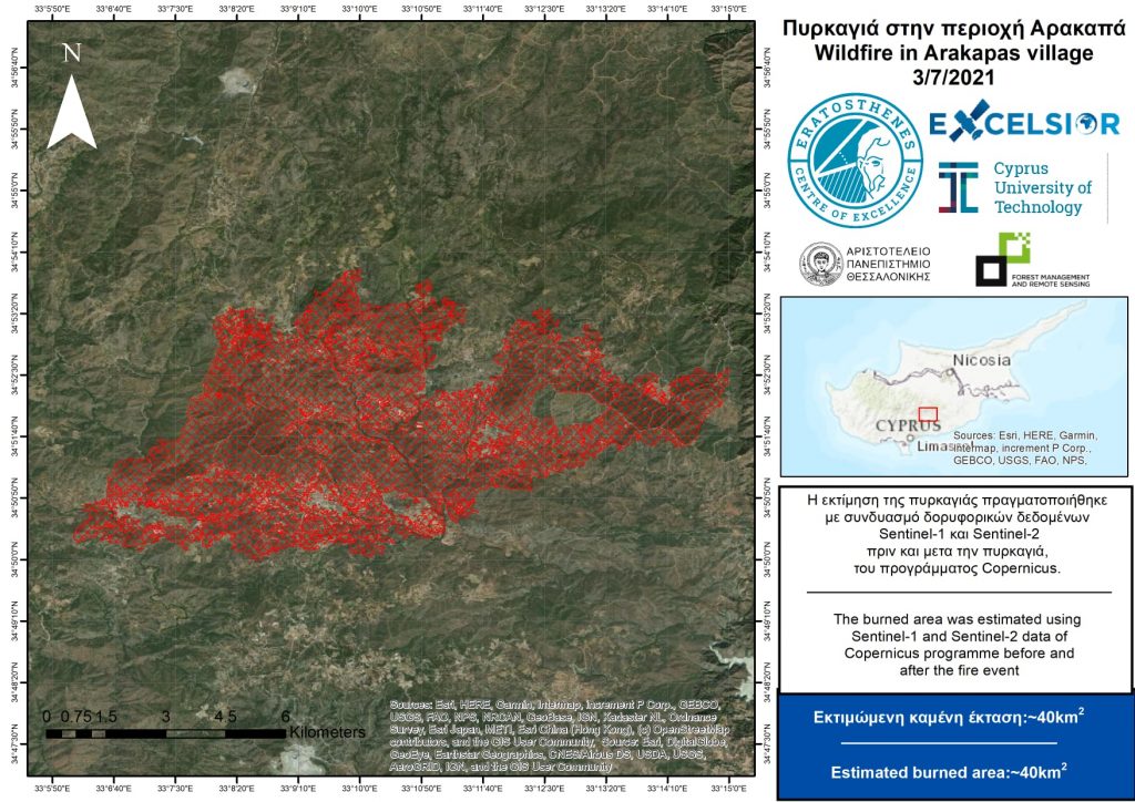
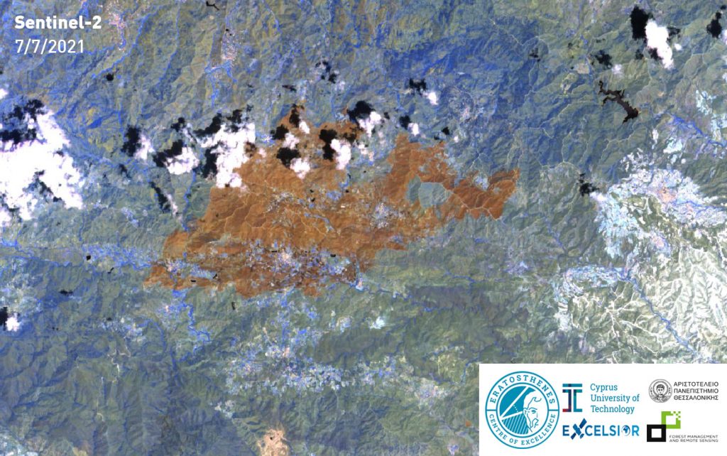
The Eratosthenes Center of Excellence of the Cyprus University of Technology, the project EXCELSIOR H2020 TEAMING, the Remote Sensing and Geoenvironment laboratory of the Department of Civil Engineering and Geoinformatics of CUT and the laboratory of Forest Management and Remote Sighting of the Aristotle University of Thessaloniki provide the second assessment of Cyprus burned soil using the medium- to high-definition means SENTINEL-1 and SENTINEL -2 of the COPERNICUS program. The area in question is about 40 square kilometers.
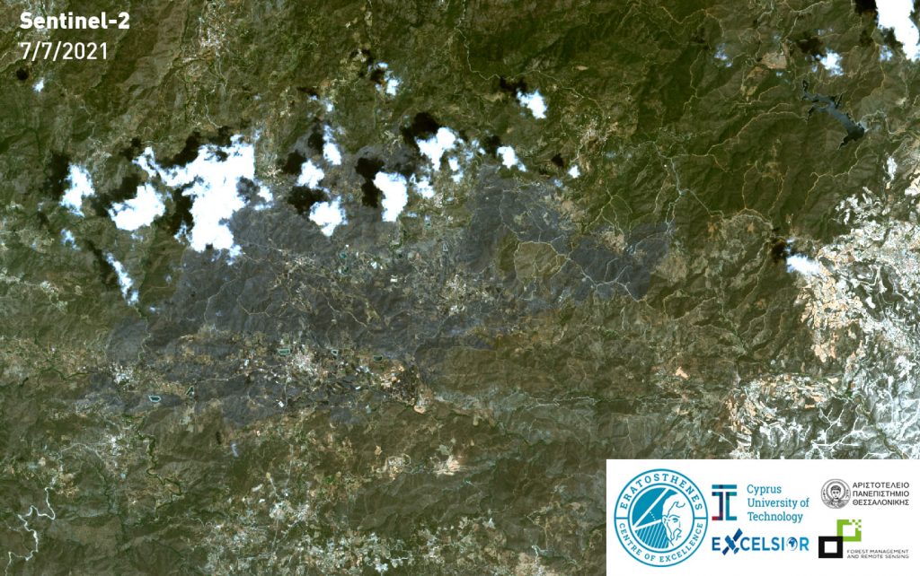
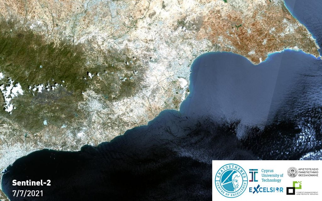
A new assessment carried out with higher definition satellite means is expected depending on the availability of new satellite shots. It is noted that in this assessment a new satellite image dated 7/7/2021 (with limited cloud cover) along with image processing algorithms were used.
This project was executed by Maria Prodromou, researcher at the ‘Eratosthenes Center of Excellence’ of the Cyprus University of Technology / EXCELSIOR H2020 TEAMING project / the Remote Sensing and Geoenvironment laboratory of the Department of Civil Engineering and Geoinformatics of the University and Stephanos Papaiordanidis from Aristotle University of Thessaloniki. The project was coordinated by Prof. Diofantos G. Hatzimitsis of CUT (coordinator of the project EXCELSIOR H2020 TEAMING) & Prof. Ioannis Gita of the Aristotle University. Aristotle University participates in the EXCELSIOR H2020 Teaming project as one of the main strategic partners.
Also read: Security and Protection, Cyprus’ subordinated sector
RECENT
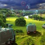 STORE project | AI-assisted optronics to increase combat perception capabilities
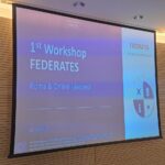 The FEDERATES project | Developing Europe’s first MSaas ecosystem
 Cyprus | Jordan mission to reinforce aerial firefighting means
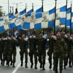 Saint George | The Patron Saint of the Army and the Infantry
 QinetiQ | UK’s first Manned – Unmanned aircraft Teaming
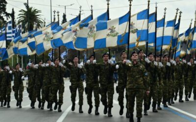
Saint George | The Patron Saint of the Army and the Infantry
Saint George is one of the most prominent Saints of the Christian religion, not only of the Eastern Orthodox Church, but also of all…

Ukraine | New spokeswoman for Foreign Ministry looks real…but she’s not
The new spokeswoman of the Ministry of Foreign Affairs was presented by Ukraine… an AI-generated person. That is Victoria Shi.
Hellenic Entrepreneurs Association | Ideas & Positions for the Promotion of Hellenic Entrepreneurship
The members of the Hellenic Entrepreneurs Association (E.E.N.E.) participated in a roundtable discussion entitled “Ideas, Positions and…
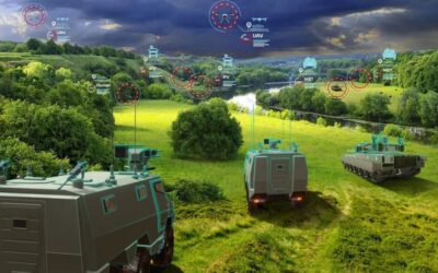
STORE project | AI-assisted optronics to increase combat perception capabilities
The European Commission signed the Grant Agreement for the launch of the STORE (Shared daTabase for Optronics image Recognition and…
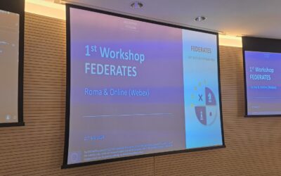
The FEDERATES project | Developing Europe’s first MSaas ecosystem
On 21 March 2024, the first Italian Workshop on the FEDERATES project of the European Defence Fund was held.
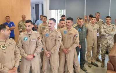
Cyprus | Jordan mission to reinforce aerial firefighting means
Two firefighting helicopters with their 18-member crew arrived in Cyprus from Jordan to support the Republic of Cyprus’ aerial firefighting.
Saint George | The Patron Saint of the Army and the Infantry
Saint George is one of the most prominent Saints of the Christian religion, not only of the Eastern Orthodox Church, but also of all…
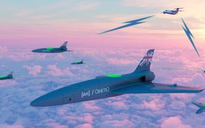
QinetiQ | UK’s first Manned – Unmanned aircraft Teaming
QinetiQ has successfully trialled the UK’s first Manned-Unmanned Teaming (MUM-T) demonstration between a crewed aircraft and a drone.
Lambda Automata | Investment in UAV technology
Greek Lambda Automata has recently announced a major development that will strengthen its position in the defence industry.
0 Comments